GREAL’s Geoservice System is operational

Within the framework of the LabGeoNet collaboration network among Italy’s scientific geographic laboratories, GREAL has released its free geoservice system for GIS data processing. The system was developed by the IT office of the European University of Rome under Eng. Marco Spanu: testing was completed on January 23rd and normal operation…

Continue reading

InsuLab, prospettive insulari. Questioni storico-geografiche (Greal Reports 3)

InsuLab, prospettive insulari. Questioni storico-geografiche a cura di Arturo Gallia, 2022 ISBN 978-88-946229-2-8 Nell’immaginario comune, isole e società insulari soffrono di una lettura stereotipata, in cui il turismo estivo fatto di sole, mare e divertimento predomina su ogni altro aspetto. Pur in presenza di una letteratura molto ampia, questa visione…

Continue reading

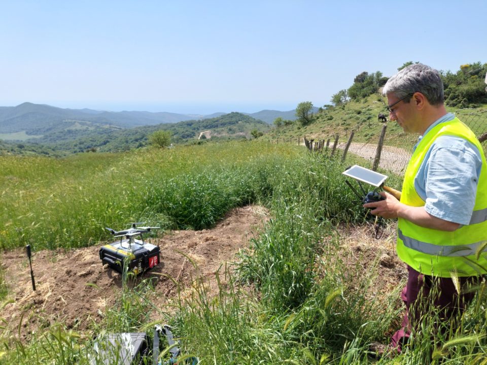
GREAL’s first aerophotogrammetric test flight by UAS over the Roman Villa della Fontanaccia archaeological site (Tolfa, Italy).

Yesterday morning, May 10th 2022, GREAL conducted its first UAS-based aerophotogrammetric test over the Roman Villa della Fontanaccia archaeological site, in the mountains near Tolfa. During two flights, for an overall duration of approximately fourty minutes, initial data were gathered and procedures were validated, towards a research and teaching protocol…

Continue reading

UER and GREAL at the “Borsa Mediterranea del Turismo Archeologico” at Paestum

Paestum’s archaeological park, in Campania region, Italy, hosts the 2021 edition of the “Borsa Mediterranea del Turismo Archeologico”, a major national event involving research, institutional participation and enterpreneurship in tourism initiatives for historical sites and cultural heritage. UER’s School of Tourism and GREAL participated to the activities on November 25th and…

Continue reading

SONARCTC: Mission accomplished

Aug 16, 2021 The Polarquest2021 expedition has successfully completed its seafloor mapping programme today. The Polarquest2021 expedition has successfully completed its seafloor mapping program today, with its last sonar scanning station in Bockfjorden at 79°5N, 13°4E. The crew, directed by sonar specialist Domink Pałgan and assisted by scientific coordinator Gianluca…

Continue reading