



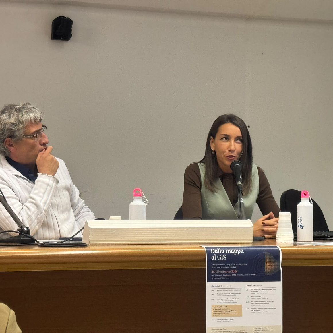
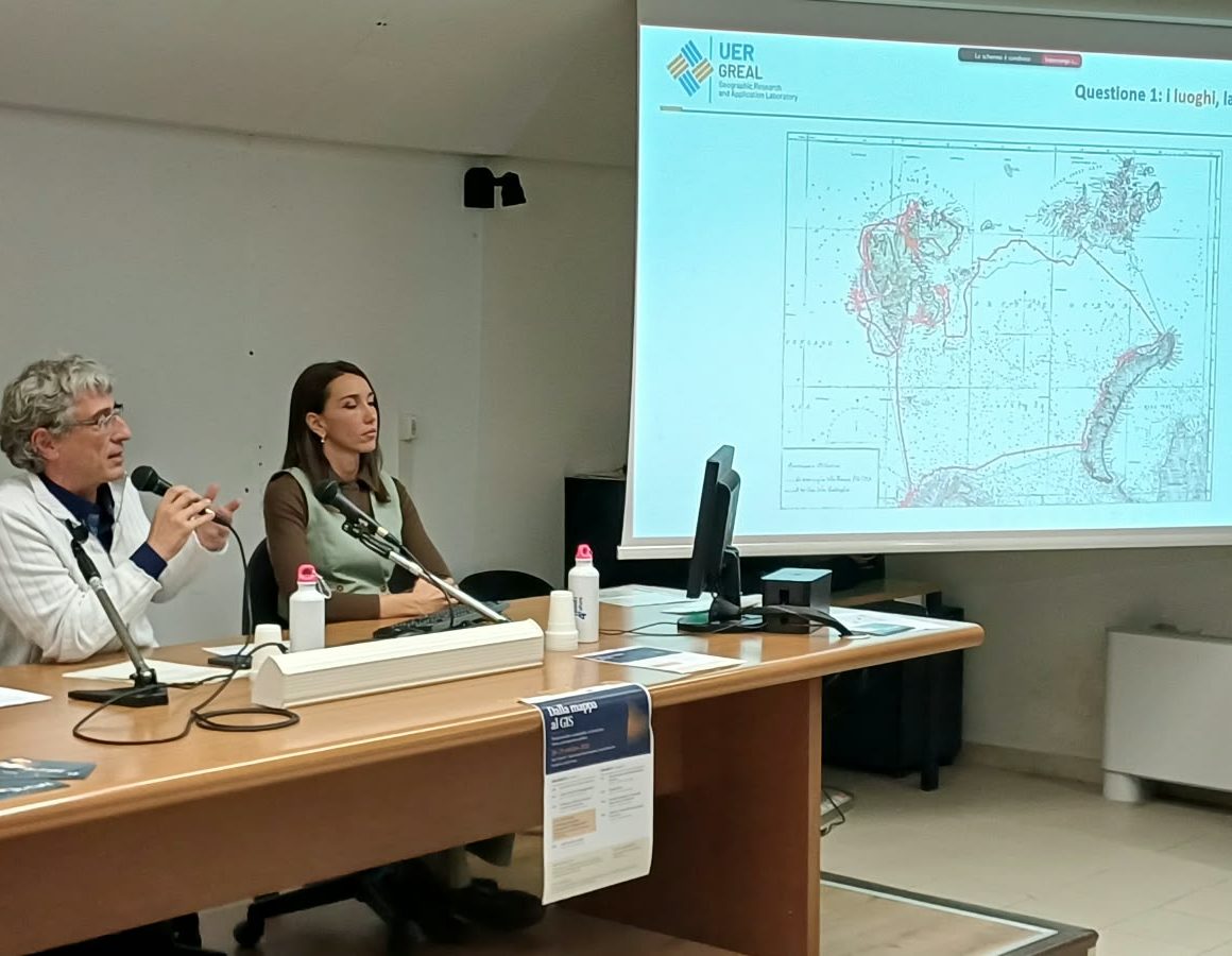
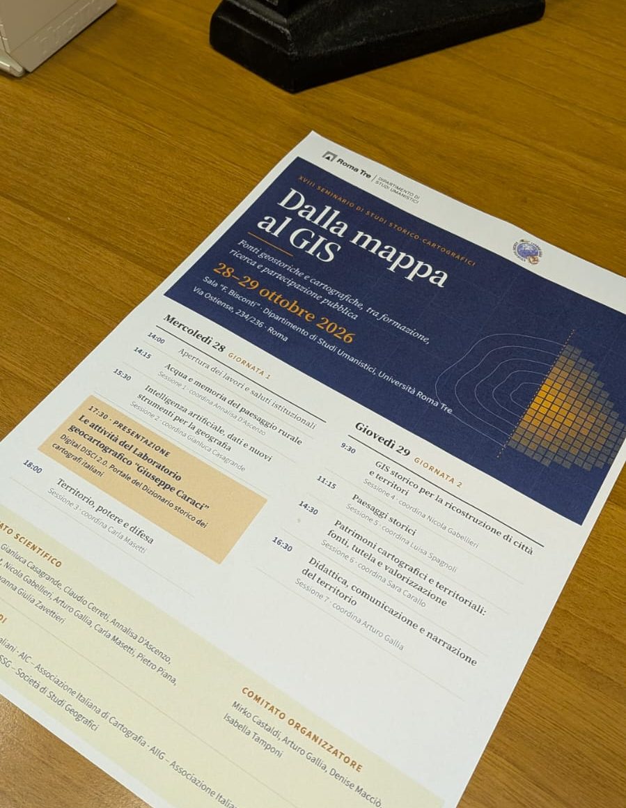
GREAL took part in the “From Map to GIS” seminar, held on 28–29 October 2026 at the Department of Humanities, Roma Tre University, with a presentation on the design of a web-based historical geographic information system (Web-HGIS) for studying and enhancing access to documentation relating to the Arctic expedition led in 1929 by explorer Gianni Albertini (1902–1978).
The recent digitisation of a substantial portion of the expedition’s private archive has enabled a more detailed study of the undertaking and the reconstruction of its route through the integrated analysis of sources. This research has laid the foundations for a platform designed to connect the geographical dimension of the journey with a wide range of materials: historical maps, contemporary cartography, remote sensing data, texts, photographs, films, scholarly publications and memoirs.
The presentation outlined the initial methodological and design considerations emerging from the research. It focused on organising relationships between sources, defining criteria for geographical representation and developing an interface that makes the documentary heritage accessible through clear and coherent navigation.
Particular attention was devoted to the use of artificial intelligence to support the processing of complex datasets and reduce reliance on manual data entry. These activities are carried out within a logical architecture defined by the research team, with verification and validation procedures designed to ensure that the results remain consistent with the project’s scientific objectives.
Participation in the seminar provided an opportunity to discuss the relationship between historical research, geographical information and digital technologies, sharing early findings from an ongoing project and ideas for developing implementation methods based on the supervised use of artificial intelligence.